
Project Details
- Sector: Conservation and Heritage
- Location: Cumbria
- Solution: High Energy Rivers
- Client: Yorkshire Dales National Park Authority

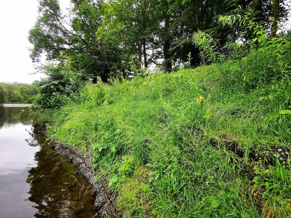
The site is located within the Yorkshire Dales National Park and a well-used public footpath which runs along the top of the riverbank was under threat if the bank erosion was not addressed.
The site was initially damaged when two alder trees were washed out during Storm Desmond 2015 flood, with subsequent flooding exacerbating the issue.
The aim of the project was to establish the baseline geomorphic condition of the River Lune within the area of the restoration site and to produce site-appropriate designs to address the bank erosion issues.
Development of the proposed designs was underpinned by a process-based approach, ensuring that the designs developed were appropriate within the geomorphic context of the wider catchment.
Particular focus was given to design options that reduced and controlled foreseeable risks during the construction phase as well as those that minimised future maintenance costs and resulted in multiple benefits.
A field-based fluvial audit and topographic / bathymetric survey was conducted throughout the study site and an extended section of the River Lune in order to provide geomorphologic and topographic information to support design development. This data, together with data from desk-based assessments was used to develop an understanding of the current physical condition and constraints of the site, to allow for an informed assessment of potentially feasible design options.
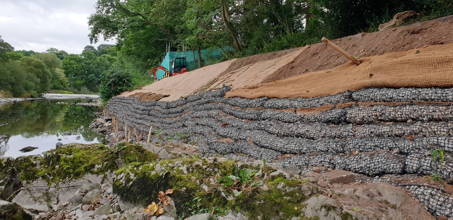
To design a river bank that is more resilient to the high magnitude flows at Kirkby Lonsdale, it is important where possible, to create a solution that mimic’s the surrounding environment. In this case, Cbec examined the bank profile of the bank upstream and downstream of the eroding bank and deduced that a bank angle of 2H:1V is in keeping with the surrounding reach.
To provide the base of the regraded bank, imported sub soil was required for the willow cuttings to become established. Subsoil offers a suitable substrate for live willows, while also having good cohesive properties that are appropriate for use behind the rock rolls.
On the above slopes to the footpath of the regraded bank, fully biodegradable CocoBn erosion control matting was used, with native riverbank seed mix below.
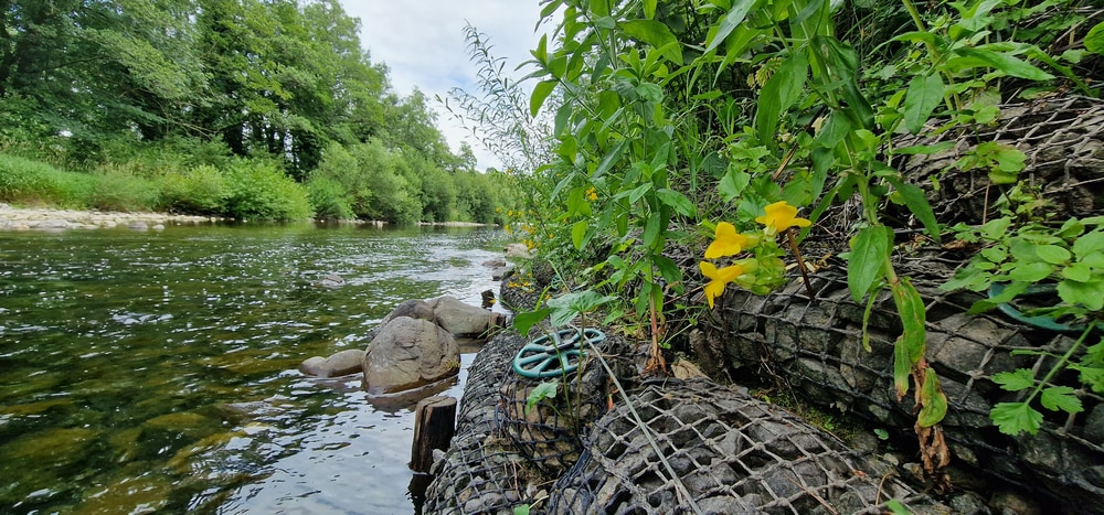
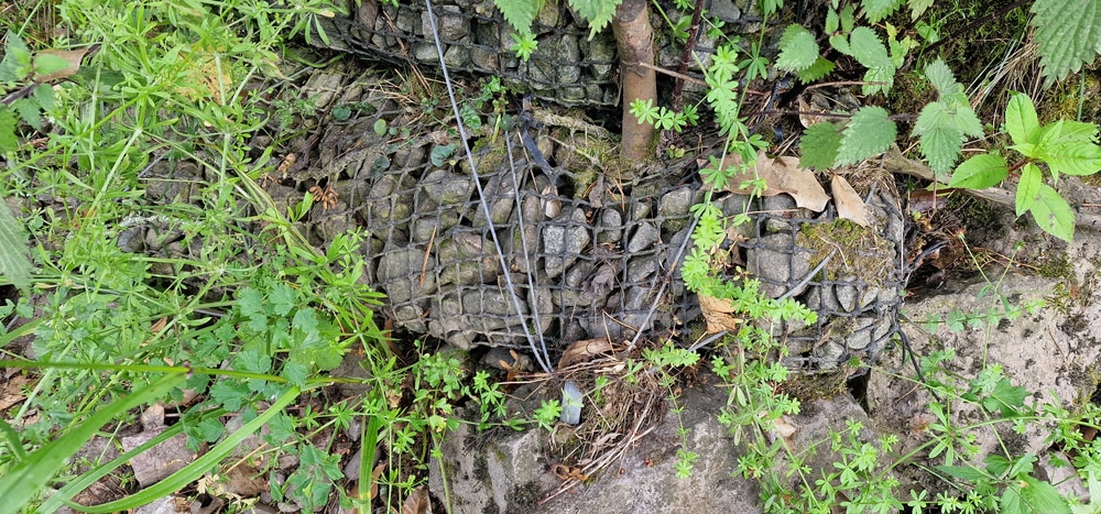
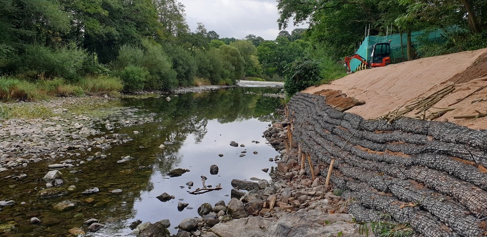
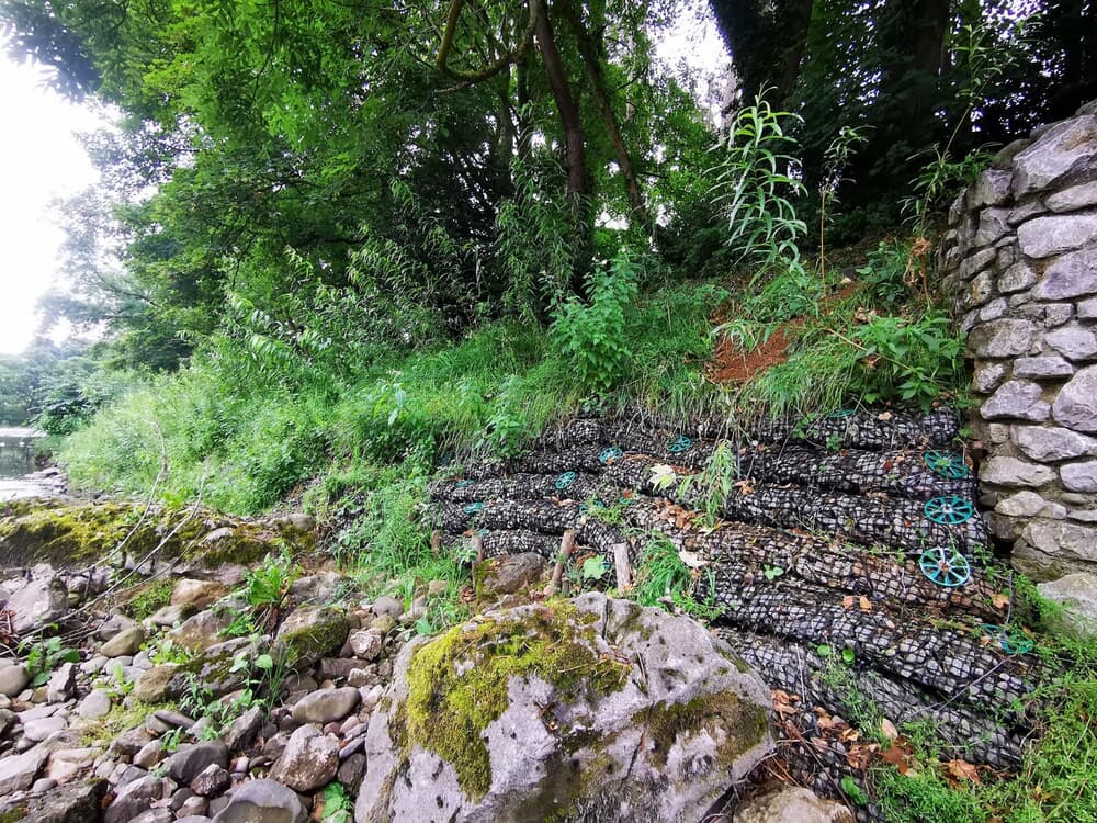
Pre-filled 2m x 300mm rock rolls were placed and laced together over the granular fill, subsoils, providing a resilient solution for protecting the bank underneath. The rock rolls will extend from the toe of the river bank to the crest of the bank. Lacing the rock rolls together increases the permissible velocities over the material, improving performance.
The rock rolls at the toe of the bank are keyed into the bed of the channel and re-covered with cobbles. Fixing the rock rolls and preventing movement during high flows consisted of Chestnut fixing stakes at the toe into the river gravels where bed rock was not present or fixed in place by metal anchors that have been drilled into the bedrock. The line of the rock rolls had a small amount of variability incorporated, i.e. not laid in a straight profile, to mimic the surrounding environment.
Gripple ground anchors were also used to tie into the cohesive fill material behind the rock roll revetment face.
This solution not only provides long-term erosion protection but has greatly improved riparian vegetation and hydromorphological conditions supporting aquatic ecosystems and providing physical habitat for biota such as fish, invertebrates and aquatic macrophytes that hard engineering solutions such as block work cannot offer.
Products used
-
Pre-filled Rock RollsPre-filled Rock Rolls are a robust and permanent revetment for use around reservoirs, shorelines, lake edges, streams and river banks.
-
Terra-Lock® anchoringSalix Terra-Lock is a turnkey solution for soil erosion control and geotechnical stability utilising Turf Reinforcement Mats (TRM’s) with Gripple Ground Anchors.
-
CocoBNMade from our sustainably sourced coir, this is an ideal erosion control mat for areas which require 100% bio-degradable interventions whilst still providing erosion control in high velocity situations.
